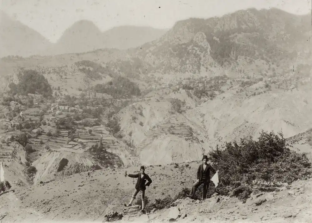
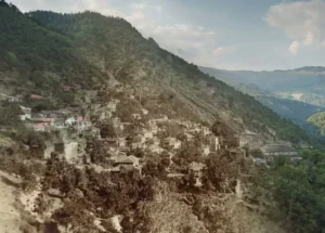
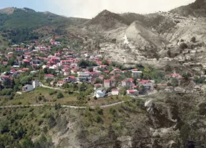
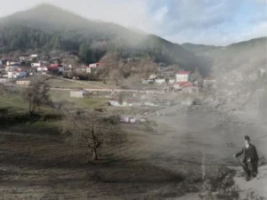
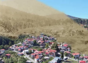
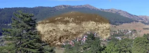
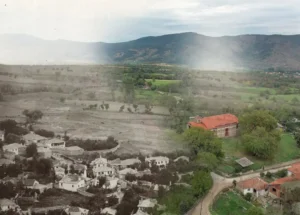
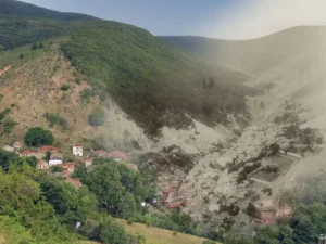
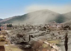
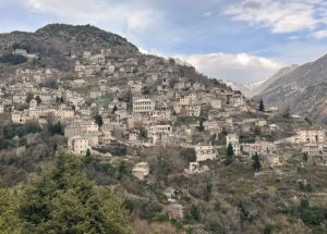
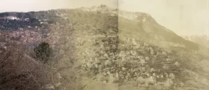
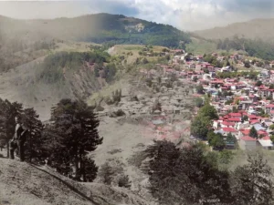
Another village that was difficult to identify. However, at one point during my field research, I recognized the shape of the mountains. The old road to the village, where the brothers took the photograph, no longer exists — it’s now covered by forest — so once again I had to use a drone to capture a similar angle. Here is how Wace and Thomson describe this exact location: “From the track between Palioseli and Padza, a wonderful view can be obtained. Behind us to the north is the triple mass of Zmolku, the highest peak of Pindus; in front, and immediately below us, is the Aous hurrying down to the Adriatic. Beyond, to the south, is the Zaghori, which from here seems to consist of parallel ranges of hills running north and south. On the east rise the lower peaks of Pindus, Ghumara, Vasilitsa, and Ou, with their lower slopes covered with thick pine woods. In strong contrast to the gravelly hills of the Zaghori and the woods of Pindus is the western boundary, with the bare and craggy sierra of Papingo, which rises in height towards the north, where it ends in a vast wall of limestone cliffs.
The position of Papingo and Zmolku, frowning at one another across the Aous, has caused the Vlachs to localize here a folktale of which many versions are found in the Balkans and particularly among the Vlachs. It probably belongs to the class of tales that are native to a district rather than to any one race. In Vlach folklore, the mountain, personified as a demon, plays a leading role, especially true of any mountain with a small lake near its summit. It is in this lake that the demon makes his home, and in Vlach folklore, he was originally a shepherd who, being crossed in love, drowned himself and his flock.”